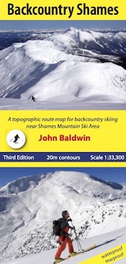
scale 1:33,300
contour interval 20m
24" X 36.8"
folds to 4.25" X 9"
waterproof and tearproof
full colour
Third Edition
ISBN 978-0-9919479-2-8
$25.00
RETAIL SALES
Terrace:
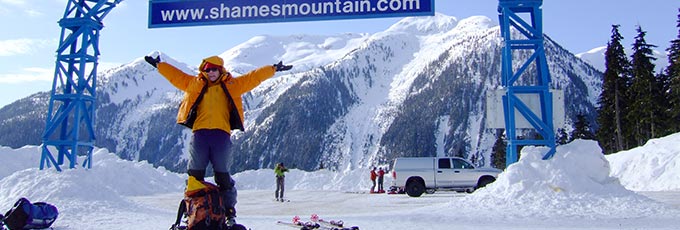
Shames Mountain
Misty River Books
All Seasons Source for Sports
ONLINE SALES
Backcountry Skiing Canada
GoTrekkers
Maptown
BACKCOUNTRY SHAMES
Backcountry Shames is a topographic route map for backcountry skiing near Shames Mountain ski area in northwestern BCJohn Baldwin
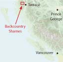
Backcountry Shames describes backcountry skiing near Shames Mountain ski area in nothwestern British Columbia. Routes are marked on a 1:33,300 scale topographic map and include information on ski ascent routes, ski runs, popular names, backcountry cabins, driving distances and parking areas.
Features:
- customized topographic map
- detailed ski routes
- backcountry ski runs
- backcountry cabins
- waterproof, tearproof
- table of slope angle relative to contour spacing
- 1 km UTM grid lines
- latitude and longitude
Backcountry Shames is a customized topographic map based on the 1:20,000 BC Provincial Government TRIM maps which are produced from 1:40,000 scale black and white aerial photographs.
Help Support My Mountain Co-op
Shames Mountain is a non-profit organization run by locals!
$1 from the sale of every copy of Backcountry Shames will be donated to My Mountain Co-op.
Support My Mountain Co-op by becoming a member or making a donation at My Mountain Co-op.