Ski Touring Maps
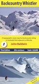 |
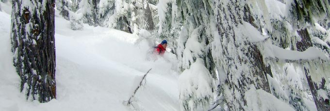
Backcountry WhistlerA topographic route map for hiking, mountaineering, backcountry skiing, and steep skiing in the Coast Mountains near Whistler |
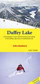 |
Duffey LakeA topographic route map for backcountry skiing in the Duffey Lake area of southwestern BC |
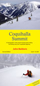 |
Coquihalla SummitA topographic route map for backcountry skiing and hiking from the Coquihalla Highway in southwestern BC |
 |
Backcountry ShamesA topographic route map for backcountry skiing near Shames Mountain Ski Area in northwestern BC |
Coastal Hiking Maps
Wild Isle Publications will be taking over the Coastal Hiking maps. Please visit their website to purchase or inquire about wholesale orders of the coastal hiking maps.