scale 1:50,000
contour interval 100ft
36" X 24"
folds to 4.25" X 9"
full colour
waterproof and tearproof
ISBN 978-0-9691550-9-6
$25.00

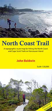
NORTH COAST TRAIL
A topographic route map for hiking the North Coast Trail to Cape Scott at the northwest tip of Vancouver Island, BCJohn Baldwin
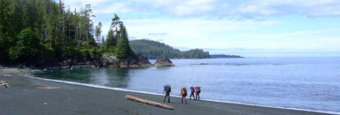
North Coast Trail describes coastal hiking routes in Cape Scott Provincial Park at the northwest tip of Vancouver Island, BC. The route is marked on a 1:50,000 scale topographic map and includes information on distances and hiking times, recommended campsites, tide cutoffs, sources of drinking water and noteworthy features.
Features:
- customized topographic map
- detailed hiking route
- distances and hiking times
- recommended campsites
- bear proof food cache locations
- tide cutoffs
- sources of drinking water
- 1 km UTM grid lines
- latitude and longitude
- three-dimensional shaded relief
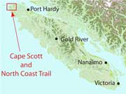
- covers parts of 92L/12, 92L/13, 102I/9, and 102I/16
North Coast Trail is a customized topographic map based on the Canadian NTS Topographic maps and is printed on water-resistant/tearproof synthetic stock.